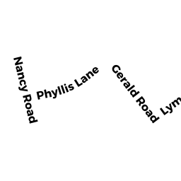
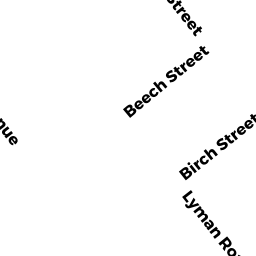
233 LYMAN RD
Owner Information
LYDON EDWARD M & KAREN M
233 LYMAN RD
MILTON, MA 02186


Property Details
233 LYMAN RD is classified as a Single Family Residential (Split levl).
The primary structure on this property was built in 1957. There are 1,782ft2 of built area within this property. There is 1,782ft2 of residential/living space within this property. This property is listed as having 6 rooms.
233 LYMAN RD is valued at $614,000. The land is valued at $430,500 and the structures are valued at $182,600. There is an additional valuation of $900 on this property.
This property is in Zone RC. Confirm with local Zoning Board authorities to ensure there are no overlays or other easements on this property.
233 LYMAN RD was last sold on Tuesday, January 7, 2003 for $412,000.
Assessment data from fiscal year 2021.
Flood Data
According to the FEMA National Flood Hazard Layer, this property does not appear to be in a flood zone. It may also be in an area not yet reviewed. Nonetheless, confirm this information prior to taking any action.
To view the flood hazards around this property, create a FEMA "Firmette" Map of the area around 233 LYMAN RD.
Broadband Internet Providers
| Provider | Type | Bandwidth (mbps) | |
|---|---|---|---|
| HughesNet | Satellite | 25 | 3 |
| Viasat Inc | Satellite | 100 | 3 |
| Verizon New England Inc. | DSL | 7 | 0 |
| Comcast | Cable | 1000 | 35 |
| RCN | Cable | 500 | 20 |
| T-Mobile | Fixed Wireless | 25 | 3 |
| GCI Communication Corp. | Satellite | 0 | 0 |
| VSAT Systems, LLC. | Satellite | 2 | 1 |
Broadband service provider data from December 2020.
Adjacent Properties
- 225 LYMAN RD
Single Family Residential owned by KINNEALEY MICHAEL & RACHAEL - 126 GERALD RD
Single Family Residential owned by HUDLIN NANCY M - 17 JEREMIAH WY
Single Family Residential owned by BORTOLOTTI PAUL M - 245 LYMAN RD
Single Family Residential owned by LAVITA LORENZO JR & LORENZO - 134 GERALD RD
Single Family Residential owned by HANAFIN MARTHA V (LIFE ESTATE)